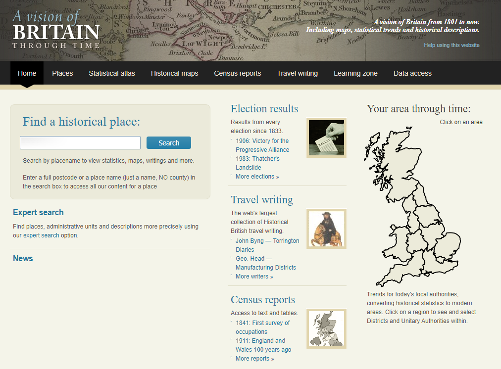
Das Portal versammelt statistische Daten, historische Fakten und Augenzeugenberichte sowie historische Karten zu Großbritannien, in denen Sie gezielt suchen oder stöbern können, z.B. über eine Karte der britischen Regionen.
A Vision of Britain through Time brings together historical surveys of Britain to create a record of how the country and its localities have changed.
It was created by Humphrey Southall and the Great Britain Historical GIS Project („GIS“ stands for „Geographical Information System“). We are based in the Department of Geography of the University of Portsmouth. More information about the project, and about historical applications of GIS technology, is available from our other web site at www.gbhgis.org.
